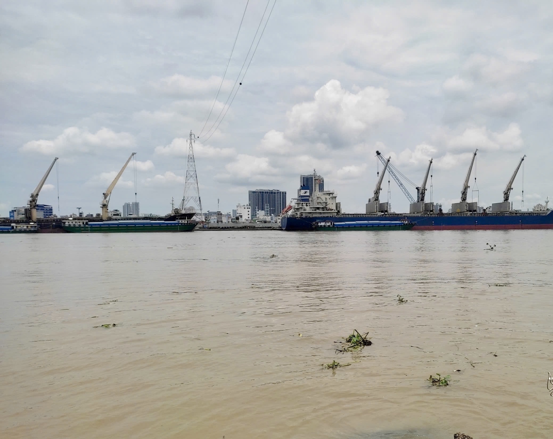
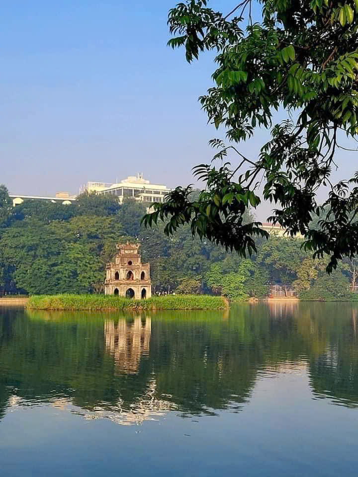
Introduction general of rivers and lakes in Bangkok city, Thailand
Thailand’s capital Bangkok, covering a surface area of 1,569 km2, situated on the low-lying Chao Phraya River Delta, located between 13° 45’ North 100° 31’ East. Bangkok, a major economic and cultural center in Southeast Asia, is bordered by Samut Prakan to the south, Pathum Thani and Nonthaburi to the north, Chachoengsao to the east, and Nakhon Pathom to the west. The Bangkok city is located 28 km north of the Gulf of Thailand with dozens of large canals (Klongs) that drain into the Chao Phraya River (Warren et al., 2012).
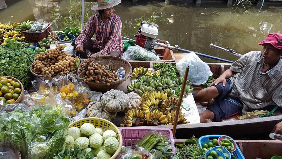
Fig 1. Floating market in Thailand
The latent population of the city is 9.25 million (13.2% of the total population) with a density of 5,896 people/km2 (National Statistical, 2023).
Land use patterns in Bangkok are characterized by a predominance of residential, commercial, and industrial zones. However, a substantial area is still allocated to agriculture, particularly in the suburban regions. Water bodies, including rivers, canals, and lakes, significantly influence the city's landscape and infrastructure. The Chao Phraya River, which courses through the city's center, serves as a vital source of water for consumption, agriculture, and transportation. As of 2023, urban and built-up areas constitute 67.72% of the city's total land use, followed by agricultural land at 23.36%, miscellaneous land at 5.81%, water bodies at 2.96%, and forest land at a mere 0.15% (Department of Land Development, 2023).
Bangkok's monsoon climate receives an average annual rainfall of 2,355.5 mm, primarily concentrated between May and October. September typically experiences the heaviest precipitation (Department of Drainage and Sewerage, 2022). The city's average temperatures range from 22°C to 34°C, and humidity levels fluctuate between 70% and 75%, reaching their highest during the rainy months (TMD, 2022).
The surface waters of Bangkok, a sprawling metropolis, are significantly impacted by the combined effects of urbanization, demographic expansion, and industrial development. A comprehensive overview of the principal rivers, canals, and lakes within the city is provided below.
1. Rivers and Canals (Khlongs)
River
The Chao Phraya River
The Chao Phraya River, a vital waterway for Bangkok, originates from the confluence of the Ping and Nan Rivers in Nakhon Sawan. It traverses southward for approximately 372 kilometers, culminating in its discharge into the Gulf of Thailand. Historically, this river has been instrumental in facilitating trade and tourism within the city. However, in recent decades, the Chao Phraya has faced significant environmental challenges due to pollution stemming from industrial effluents and untreated domestic wastewater (Simachaya, 2003). Moreover, because Bangkok is so close to the Gulf of Thailand, tidal bores can cause problems with managing water levels in the Chao Phraya River. During high tides, the flow of water out to the ocean is greatly reduced. This means that constant monitoring and maintenance of water levels in the Chao Phraya River are necessary to prevent the riverbanks from overflowing and flooding the city (Thanvisitthpon et al., 2018).
The Chao Phraya River Basin (Fig. 1) is the largest and the most important basin in Thailand, it flows 365 km into the Gulf of Thailand. It consists of eight sub-basins and covers an area of approximately 158,587 km2 (approximately 32% of Thailand). The basin can be divided into the upper part (the Ping, Wang, Yom, and Nan basins) and the lower part (the Chao Phraya, Sekae Krang, Pasak, and Tha Chin basins) (Koh et al., 2022). These rivers are interconnected and serve both for irrigation and for transportation. The Tha Chin River is the major distributary of the Chao Phraya River. In the delta, the Chao Phraya, the Mae Kong (to the west) and the Bang Pakong (to the east) are linked by a network of canals. The Thai people have made use of the Chao Phraya and its canal system for fishing, recreation drainage, and as a source of water. The Chai Phraya River flows past Chai Nat, the home of the government dams and a large irrigation system. The Bhumibol (capacity: 13.5 billion m3) and Sirikrit (capacity: 9.5 billion m3) multipurpose dams are the two main reservoirs in the basin. Dry season flows are primarily controlled by these two dams located on the Ping and Nan rivers, respectively (Koh et al., 2022).
Bangkok has a vast network of ditches and canals, comprising 1,980 canals with a total length of 2,744 km. These waterways have historically served as vital infrastructure for transportation, irrigation, and flood control. Given the city's geography and vulnerability to flooding, maintaining and improving the canal system is critical to managing rainwater runoff and ensuring the proper drainage of the city (Department of Drainage and Sewerage 2024).

Fig 2. The Chao Phraya River Basin
Canals
The most famous canals are the Saen Saep Canal and the Phadung Krung Kasem Canal, etc. Below is a brief introduction to some canals in Bangkok.
The Saen Saep Canal
This is one of the longest and most significant canals in Bangkok. Extending over 72 km, it connects the Chao Phraya River to various parts of the city. Historically used for transportation and irrigation, today it serves as an important drainage channel. However, like many of Bangkok’s canals, Khlong Saen Saep suffers from pollution, primarily from domestic waste, leading to water quality concerns (Suwandee et al., 2013; Thongpan, 2018).
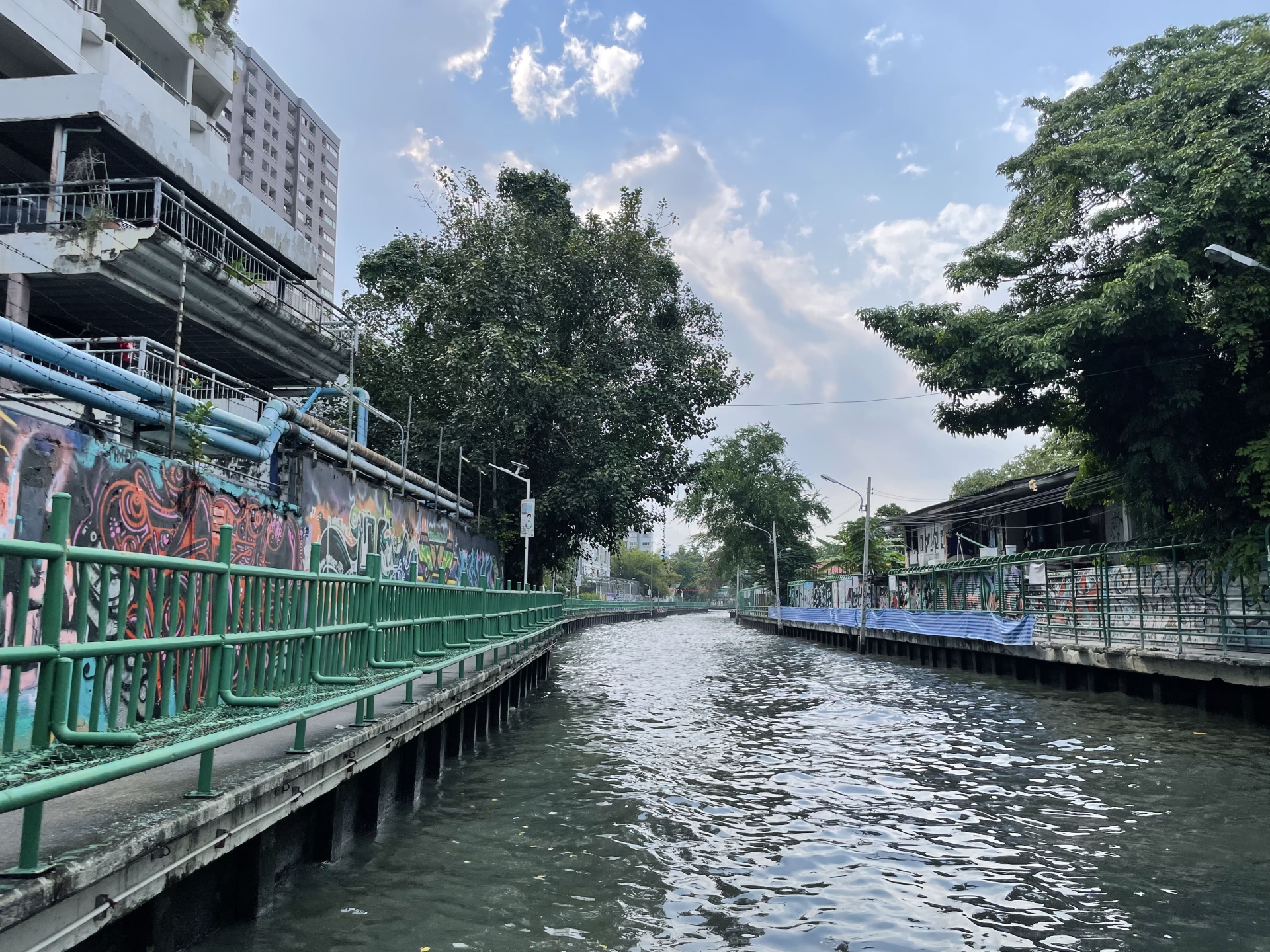 Fig.3 The Saen Saep Canal
The Phadung Krung Kasem Canal
The Phadung Krung Kasem canal, a vital waterway, was initially built as a defensive moat during the city's establishment. Its primary function today is to mitigate flood risks in central Bangkok, a region susceptible to inundation due to its low-lying topography. Contemporary initiatives have focused on enhancing the water quality within this canal, given its passage through densely populated urban areas.
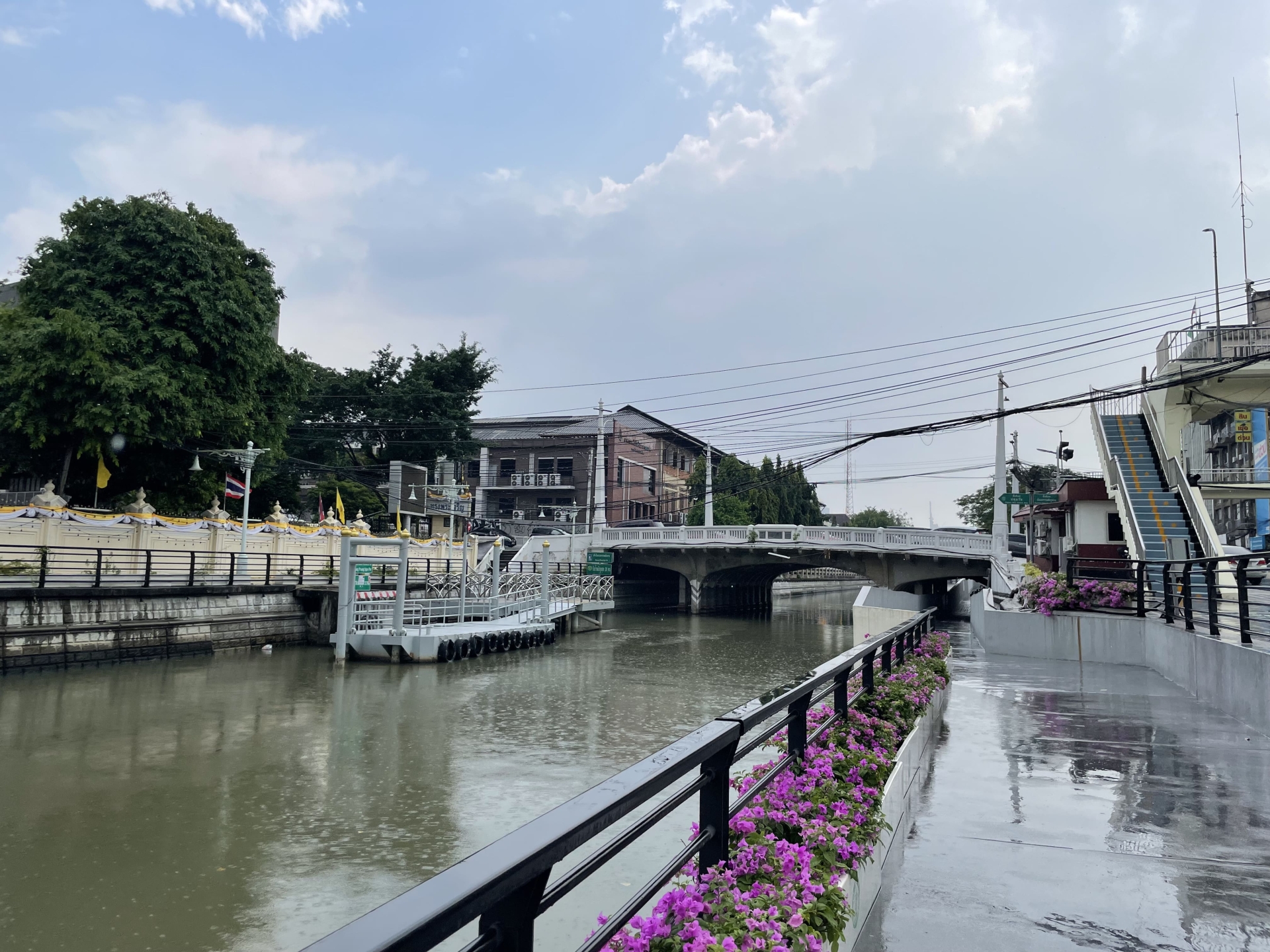
Fig. 4 The Phadung Krung Kasem Canal
2. Lakes and Ponds
Bangkok's urban landscape is punctuated by numerous lakes and ponds that serve as vital components of the city's flood management infrastructure while also contributing to its ecological and recreational value. These water bodies, distributed across public parks, university campuses, and residential areas, offer a range of benefits, including aesthetic enhancement, biodiversity conservation, and hydrological regulation.
In 2024, the Drainage and Sewerage Department identified 36 locations suitable for water storage and retention, with a combined capacity of 13.56 m3. Of these sites, 33 are situated on the east bank of the Chao Phraya River (Phra Nakhon side), capable of storing approximately 7.53 m3 of water. On the west bank (Thonburi side), three locations can collectively accommodate around 6.03 m3 of water (Department of Drainage and Sewerage 2024).
Among the most well-known lakes in Bangkok are the Lumpini Park Lake, the Benjakitti Park Lake, and the Nong Bon Lake. The following provides a brief overview of some of these important urban water bodies.
The Lumpini Park Lake
The Lumpini Park Lake, an artificially constructed water body situated in the central district of Bangkok, occupies approximately 57 ha. Serving as both a public recreational area and a stormwater retention basin, the lake plays a crucial role in mitigating flood risks within the surrounding neighborhoods during the monsoon season (CRCWSC and ICEM, 2022). Additionally, the lake accommodates a range of recreational activities, including boating and fishing.
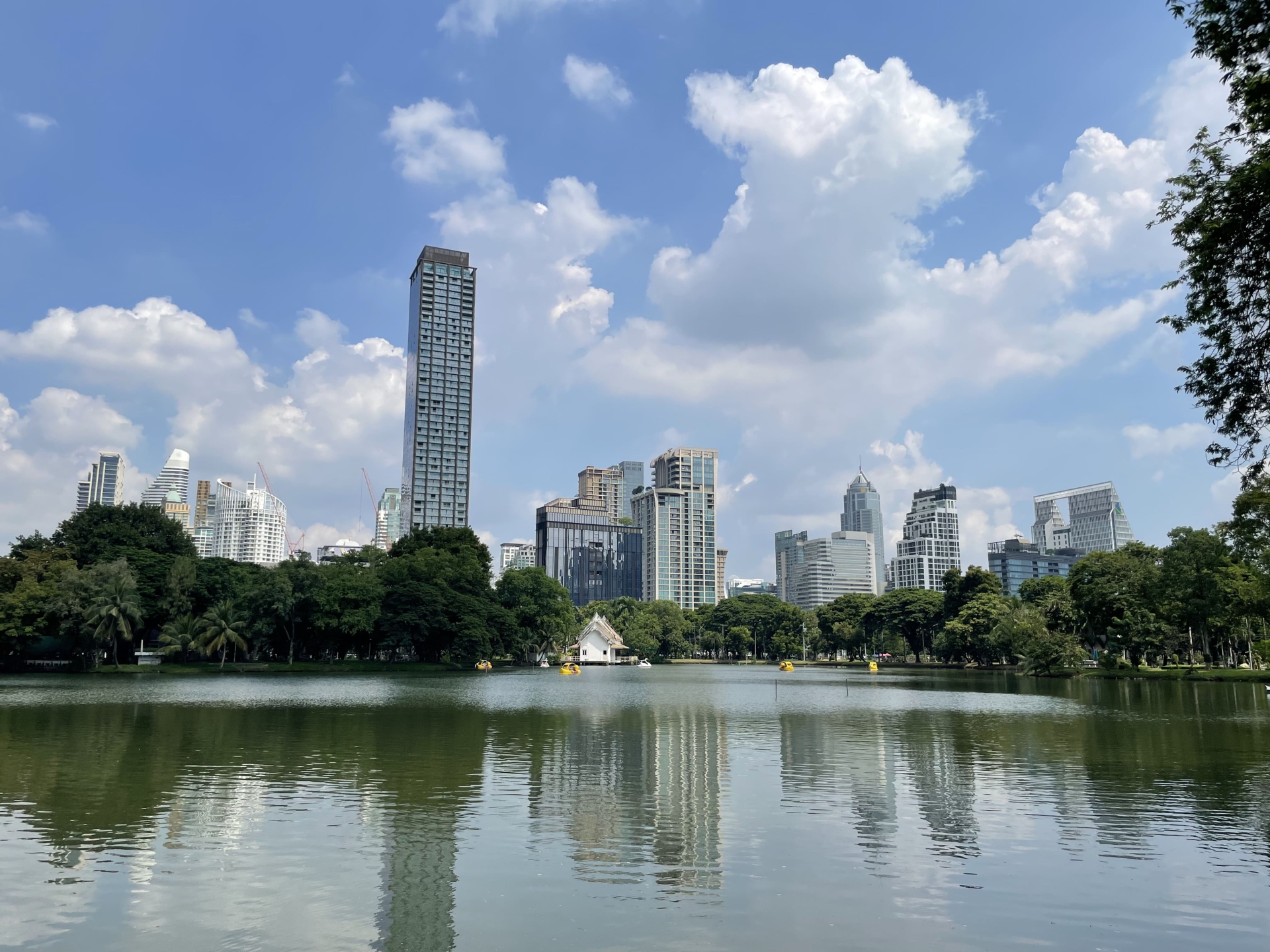
Fig. 5 The Lumpini Park Lake
The Benjakitti Park Lake
Located adjacent to Sukhumvit Road, the Benjakitti Park Lake constitutes a significant component of a sprawling urban green space. The water body, encompassing approximately 200,000 m2, serves a vital function in urban water resource management, contributing to rainwater harvesting and flood mitigation efforts (CRCWSC and ICEM, 2022). In recent years, the park and lake have emerged as a popular destination for both residents and visitors, providing a tranquil respite from the frenetic urban environment.

Fig.6 The Benjakitti Park Lake
The Nong Bon Lake
The Nong Bon Lake, a substantial man-made water body in Bangkok with a capacity of 5 million cubic meters (Department of Drainage and Sewerage 2024), was initially a natural wetland serving as a storage reservoir for the eastern metropolitan region. Through redevelopment, it now functions as a large-scale wetland system for managing excess water from the Nong Bon and Makhamtet canals. Beyond its hydrological role, Nong Bon Lake has evolved into a recreational hub, offering various sports facilities including cycling and running paths, a basketball court, a football field, and an ecological education center (The Office of Natural Resources and Environmental Policy and Planning 2018).
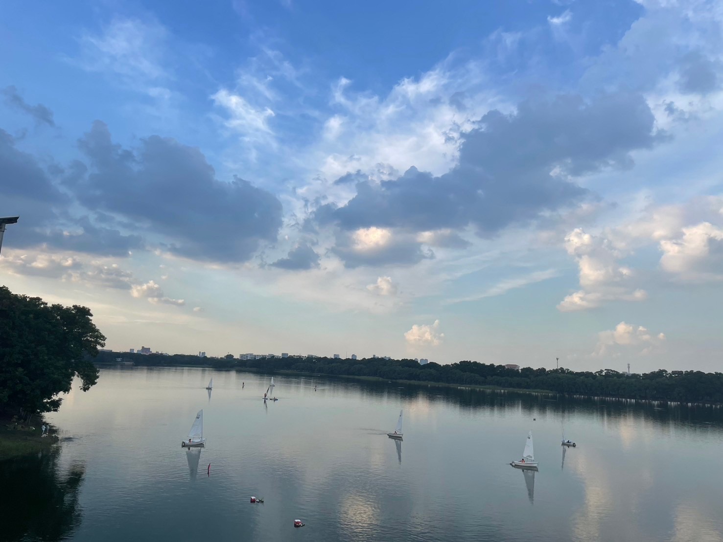
Fig.7 The Nong Bon Lake
References
Bangkok Metropolitan Administration, Department of City Planning and Urban Development. City Planning and Urban Development Department. Retrieved October 5, 2024, from https://webportal.bangkok.go.th/cpud
Bangkok Metropolitan Administration. (2022). Statistical profile of Bangkok Metropolitan Administration 2022. Retrieved October 5, 2024, from https://webportal.bangkok.go.th/pipd/page/sub/26222/
CRCWSC and ICEM. (2022). The Cooperative Research Centre for Water Sensitive Cities (CRCWSC) and the International Centre for Environmental Management (ICEM). The Sukhumvit green triangle: case study report. Retrieved October 6, 2024, from The Cooperative Research Centre for Water Sensitive Cities Limited: https://watersensitivecities.org.au/wp-content/uploads/2022/03/Sukhumvit-case-study-report-ENG.pdf
Department of Drainage and Sewerage. (2022). The average amount of annual precipitation graph, Retrieved October 5, 2024, from Department of Drainage and Sewerage: https://dds.bangkok.go.th/rain_graph.php
Department of Drainage and Sewerage. (2024). Action plan to prevent and solve flood problems in Bangkok 2024, Retrieved October 5, 2024, from Department of Drainage and Sewerage: https://ebooks.dds.bangkok.go.th/
Department of Land Development. (2023). Land Use 2023, Retrieved October 6, 2024, from Department of Land Development: https://e-library.ldd.go.th/library/flip/bib11030f/bib11030f.html#p=14
Koh R., Mukand S. Babel, Victor R. Shinde, Guillermo Mendoza. (2022). Towards climate resilient municipal water supply in Bangkok: A collaborative risk informed analysis, Climate Risk Management, 35, 100406, https://doi.org/10.1016/j.crm.2022.100406.
Olson, K.R. and Kreznor, W. (2021) Managing the Chao Phraya River and Delta in Bangkok, Thailand: Flood Control, Navigation and Land. Subsidence Mitigation. Open Journal of Soil Science, 11, 197-215.
Simachaya. w., (2003). A decade of water quality monitoring in Thailand's four major river: the results and the implications for management, 6th International Conference on the Environmental Management of Enclosed Coastal Seas, Bangkok, Thailand, November 18-21, 2003.
Suwandee, S., Anupunpisit, V., and Ratanamaneichat, C. (2013). Quality of life and Environment of Communities along Saen Saeb Canal: A survey foundation of the physical and the current situation (Phase I). Procedia-Social and Behavioral Sciences, 88, 205–211. https://doi.org/10.1016/j.sbspro.2013.08.497
Thai Meteorological Department. Weather forecast for Central Thailand .(2024). Retrieved October 5, 2024, from https://www.tmd.go.th/en/weather/region/central.
Thanvisitthpon, N., Shrestha, S., and Pal, I. (2018). Urban Flooding and Climate Change: A Case Study of Bangkok, Thailand. Environment and Urbanization ASIA. 9(1). https://doi.org/10.1177/0975425317748532
Thongpan, S. (2018). A Study on the Water Quality of the Saen Saeb Canal: A Case Study on the SWU Joint Conservation of the Saen Saeb Canal Project. The Asian Conference on the Social Sciences 2018 Official Conference Proceedings. Retrieved October 5, 2024, from https://papers.iafor.org/wpcontent/uploads/papers/acss2018/ACSS2018_41926.pdf
Warren, W. and Lloyd, R.I. (2012) Bangkok Waterways. Asia Books, Bangkok, Thailand.


