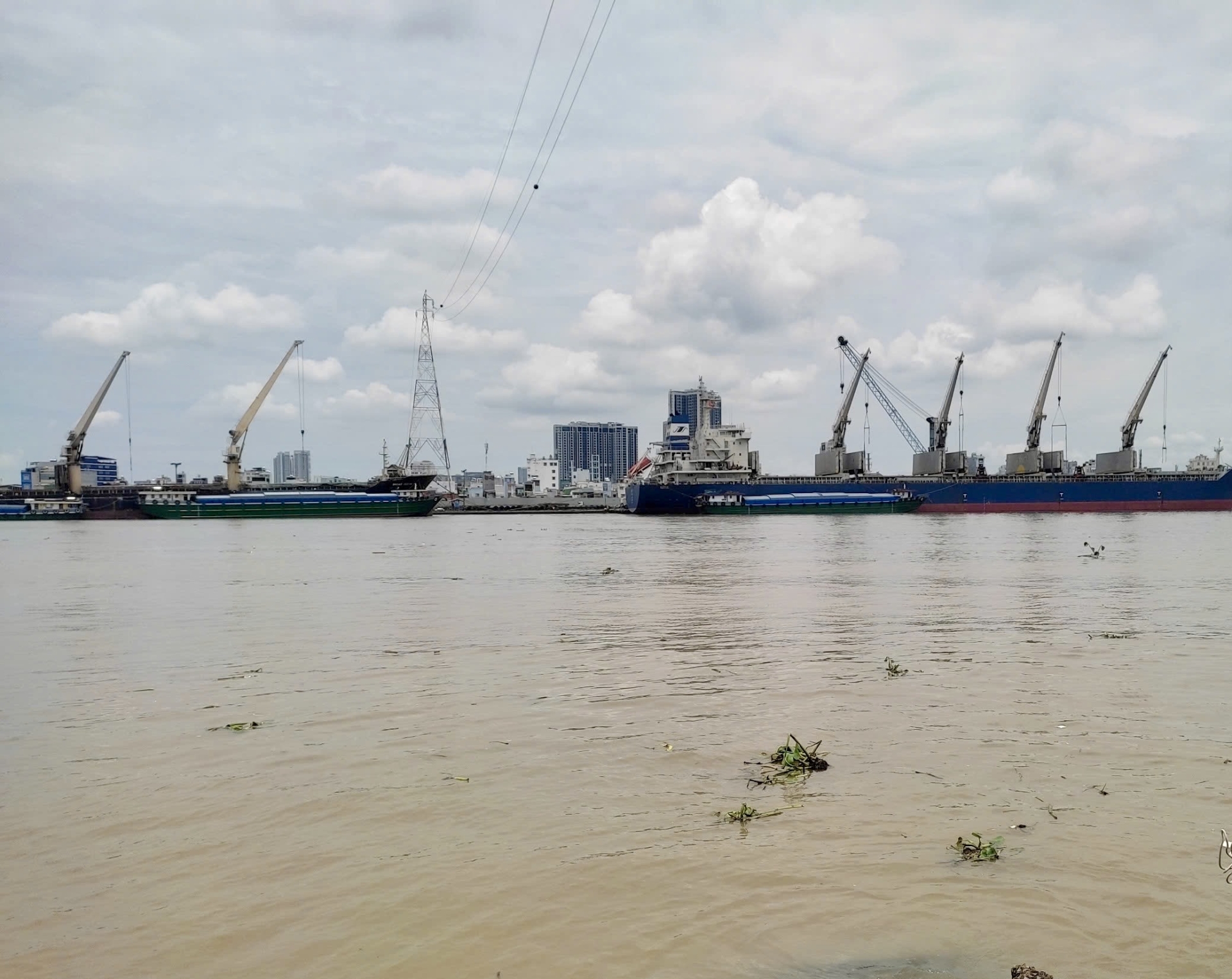
Introduction general of rivers and lakes in Hanoi city, Vietnam
Hanoi city (from 20°53' to 21°23' North latitude and 105°44' to 106°02' East longitude), is one of the two largest economic and cultural centers of Vietnam. Hanoi is adjacent to Thai Nguyen - Vinh Phuc provinces in the North; Ha Nam - Hoa Binh in the South; Bac Giang - Bac Ninh - Hung Yen in the East and Hoa Binh - Phu Tho in the West. The city covers a surface area of 3,360 km2 with a total population of 8.4 х 106 inhabitants in 2022 (Hanoi-GSO, 2022). The mean population density in Hanoi city is 2,480 inhabitants.km-2, however, it is very high in some district in the central city (e.g. up to 37,869 inhabitants.km-2 in Dong Da District) (Hanoi-GSO, 2022).
In 2021, land use in the whole city is dominated by agricultural production land (58.9%); specially used land (20.3%); residential land (11.8%); water surface (6.7%); other land (1.6%) and 0.7% unused land (Hanoi-GSO, 2022). However, in the central districts of inner Hanoi, agricultural land represents a very small proportion (< 2.3%) of the total surface area (Le et al., 2024).
In 2021, total rainfall was 1952 mm (from 0.7 mm in December to 313 mm in June) and air temperature varied from 16.9 to 31.6°C, averaging 25.3°C in 2021 (GSO, 2022). Humidity varied from 67% (in Jan) to 83% (in Mar-Apr) during the year (GSO, 2022; Le et al., 2024).
Surface water quality in big cities like Hanoi is facing many concerns due to the many impacts of comprehensive growth, such as population growth, infrastructure, means of transport, etc. (Le et al., 2023; 2024; Phung et al., 2024).
Below is introduction of some rivers and lakes in Hanoi city.
1. Rivers
Hanoi was formed from the Red River Delta. Currently, there are 7 rivers flowing through or has its partly basin area in the city: the Red River, the Duong River, the Da River, the Nhue River, the Cau River, the Day River, and the Ca Lo River. In particular, the section of the Red River flowing through Hanoi is up to 163 km long (accounting for nearly one-third of the length of this river flowing through the territory of Vietnam).
The rivers in the inner city include the To Lich, the Lu, the Set, and the Kim Nguu.
The To Lich River is one of the arterial rivers flowing in the inner city of Hanoi. The river is 14.6 km long, 40-50 m wide, and 3-4 m deep, starting at Phan Dinh Phung sluice and flowing through Tu Liem and Thanh Tri areas before emptying into Nhue River via Thanh Liet dam. The To Lich river flows through some districts in Hanoi city, then empties into the Nhue River at Thanh Tri district. The To Lich River is the city's common drainage axis, where almost no water is replenished from the headwaters, especially in the dry season, all water in the river is wastewater, of which wastewater from industrial zones accounts for a third of the total amount. The maximal of river discharge is of about 30 m3/s. However, the average river flow is of the 5.0 m3/s at Thanh Liet dam (Cai, 2020). The end of the To Lich River handles the entire city's wastewater (People’s Committee of Hanoi City, 2013), where domestic wastewater without treatment is about 1,200,000 m3/day) (Duong et al., 2022). Overall, the river has a small flow rate and stagnant water, and overload of drainage and wastewater treatment systems in city, resulting in strongly polluted river (Phung et al., 2024). The To Lich River is the most polluted river among the four drainage rivers in the inner city river (Loan et al., 2022).
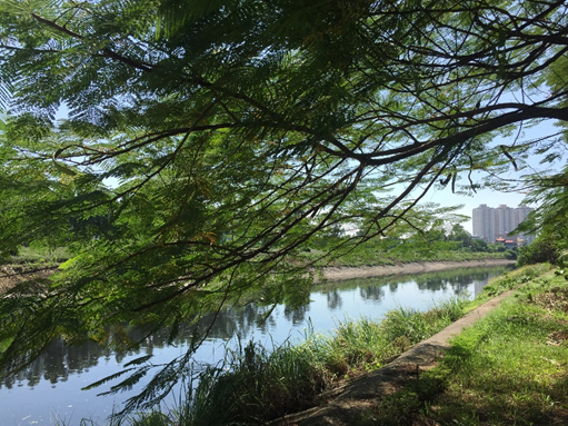
Fig 1: The To Lich river in Hanoi city
The Kim Nguu River is a To Lich River distributary that runs 11.8 km long, 20-30 m wide, and 3-4 m deep, flowing from the Lo Duc sluice and then discharge to the To Lich River before the Thanh Liet dam. According to the statistics of the People's Committee of Mai Dong ward, on the section of the Kim Nguu River flowing through the ward, it is estimated that for every 1 km, there are 7 heads of domestic sewage drains flowing directly into the river. In addition to its different functions (e.g. regulating water levels, creating urban landscapes, draining rainwater, and preventing flooding), the Kim Nguu River also has the function of transporting industrial and domestic wastewater to the treatment facility (People’s Committee of Hanoi City, 2013). Every day, the Kim Nguu River has to receive a large amount of untreated wastewater (about 125,000 m3/day).
The Lu River (Nam Dong River) is 5.6 km long, 30 m wide, 2-3 m deep. It receives wastewater and rainwater from Trinh Hoai Duc and Trang (Kham Thien) sluices, flowing through Trung Tu to Truong Chinh streets and empties into the To Lich River. The Lu river is a distributary of the Kim Nguu river, flowing through some wards. At Phuong Lien, the Lu River splits into two branches: one branch turns to the East to Giap Bat and merges with the Set River, and another branch flows further south through Dinh Cong and confluences with the To Lich River in the Hoang Mai district. In the section closed with the To Lich main branch, the flow is smaller.
The Set River is 5.9 km long and 10–30 m wide, originating from Ba Trieu sluice, Bay Mau lake in the Thong Nhat Park (Hai Ba Trung district), flowing in a north-south direction, and pouring into the Yen So lake (Hoang Mai district) (Le et al., 2023). When passing through Giap Bat, it receives water from a distributary of the Lu River flowing from Phuong Lien. For many years, the Set River has been flooded with mud and encroached upon by construction works, causing the significant decrease of the river's width and depth. In many places, the river is only about 5 meters wide. The average depth of the river is just over 1m.
The Nhue River Basin is located on the right bank of the Red River, with coordinates from 20° to 21°20' north latitude and from 105° to 105°30' east longitude, and a total natural area of 1,075 km2. The Nhue River takes water from the Red River through the Lien Mac sluice in Bac Tu Liem district, Hanoi city, to supply water for irrigation as well as serves as a drainage function for some districts (Cau Giay, Ha Dong, Tu Liem, Thanh Tri, Hoai Duc, Thuong Tin, Thanh Oai, and Phu Xuyen), before emptying into the Day River in Phu Ly city. In the Nhue river basin, the main pollution sources are from domestic and urban sources, including craft villages and handicrafts; hospitals; and partly from agriculture, fisheries, and other sources. Water quality in the Nhue river basin in recent years has been locally seriously polluted over time. In the dry season, when the water level is lowest, water colour is black, and water smell is bad at some sites, especially in some areas where the water surface is narrowed and the river flow is low, such as: the Phuc La–Dong Quan section and the Mai Linh Bridge. In the rainy season, water discharge increases more, but the Nhue-Day river basin is now a flood discharge area for the upstream Hanoi, so in addition to water flow, it is often accompanied by garbage polluting the river basin (An et al., 2022).
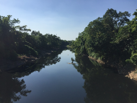
Fig 2: The Nhue river in Hanoi city in the dry season
The Day River
The Day River covers a watershed area of 7,655 km2, locating in the Red River Delta, in the North Vietnam. The river (245 km long), a typical example of a peri-urban river, is one of the largest distributaries on the right bank of the Red River with its mean water discharge of 252 m3.s−1 to the South Asian Sea (Duong et al., 2023). The Day River has five main tributaries: the Bui, the Nhue, the Chau, the Boi and the Dao rivers, of which the Nhue river is an important one in term of water quality (Luu et al., 2010; Nguyen HMN et al., 2022). The Day River provides water source for multi-purposes including irrigation, aquaculture, industrial production, domestic water supply, and transport for Hanoi city and four provinces (Ha Nam, Nam Dinh, Hoa Binh, and Ninh Binh provinces) (Ngo et al., 2022) as well as for drainage and flood protection system (Duong et al., 2023). Land use are agricultural land and industrial crops (49.5% and 13.8%), forest land (19.1%), urban land (4.9%), industrial production land (0.99%) and other land types (11.71%) (Cai, 2020; Luu et al., 2021). There were 12 million inhabitants (correspoding to 1568 inhabitants/km2) in the basin area in 2022 (Duong et al., 2023) (Vietnam-GSO, 2023).
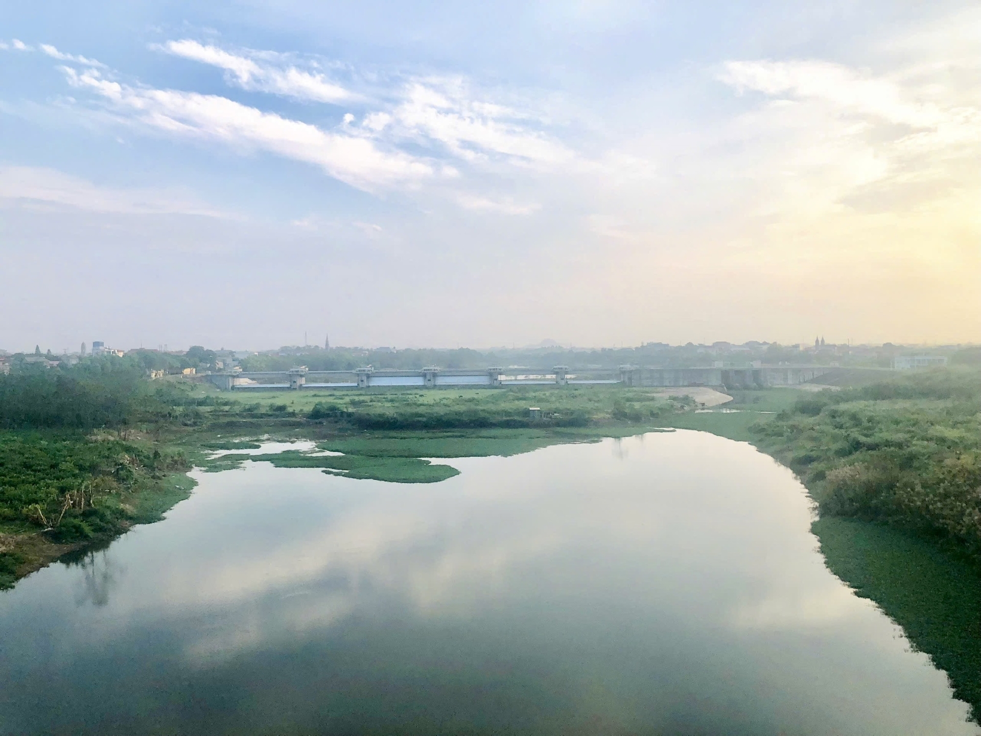 Fig 3: The upstream Day River at Phung Dam, in Hanoi city
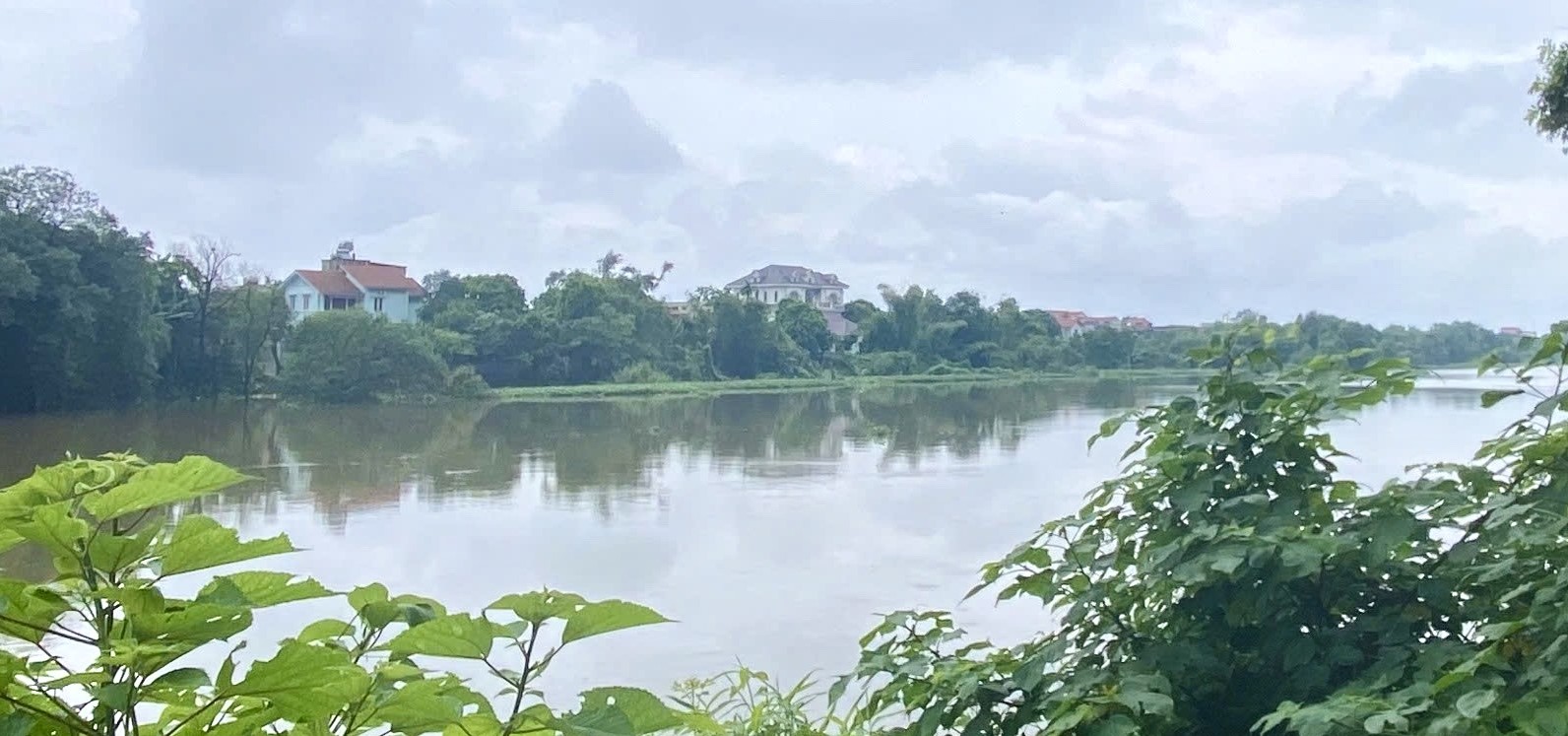
Fig 4 The middle part of the Day River in Ha Nam province
The Red River
The Red River system covering a basin area of 156,450 km2 and with a total population of 40 million inhabitants, is one of the two largest river systems in Vietnam (Le et al., 2022). The river originating from Yunnan province, the mountainous region of southern China, flows directly through 6 provinces/cities of Vietnam and then discharges into the Gulf of Tonkin. The main length of the Red River is of 1100 km of which the section flowing through Hanoi city has a length of 163 km.
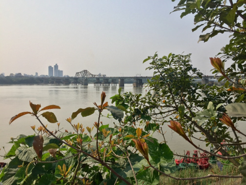
Fig 5: The Red River’s section running through Hanoi city
2. Lakes and ponds
Previous studies demontrated that lakes in cities worldwide play an important role in creating the landscape, entertainment, culture and tourism, and being the habitat for a variety of aquatic animals. The urban lakes also play an important role in regulating and draining storm water, minimizing flooding and, in some cases, receiving wastewater in surrounding areas (Ung et al. 2021; Le et al., 2024).
In 2019, a total of 122 lakes are located in inner Hanoi city. These lakes cover a total water surface area of about 11.3 km2. A half of these lakes have a water surface area of 10,000 - 50,000 m2 (VEA 2019; Le et al., 2024).
According to Ha et al., (2021), urban lakes in Hanoi city are divided into 03 groups according to function, including: some lakes only receive rainwater; and some lakes receive both rainwater and wastewater; and some lakes receive only wastewater.
The most famous lakes are the Hoan Kiem, the West Lake, the Truc Bach, the Quang Ba, the Thien Quang, the Bay Mau, the Thanh Nhan, the Linh Dam, the Yen So, the Giang Vo, etc. Below is a brief introduction to some lakes in Hanoi.
The West Lake is the largest natural lake in the city, regulating a large inner city. In 1993, the area of West Lake was 526 hectares and then reduced to 516 hectares in 2001.
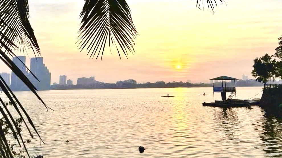
Fig 6: The West lake in Hanoi city
The Truc Bach lake is nearby the West lake, which are fanous lakes in inner Hanoi city. The lake covers a surface area of 90,000 m2. Water level of the lake is about 1.5 to 2m
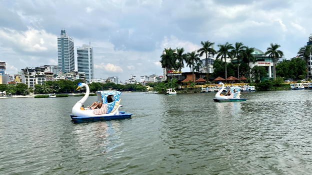
Fig 7: The Truc Bach lake in Hanoi city
The Giang Vo Lake has an area of 68,300 m2, and it has the function of regulating and receiving rainwater and domestic wastewater from residential areas and business households along the lakeside. The lakeside is the place where cultural and sports activities take place every year.
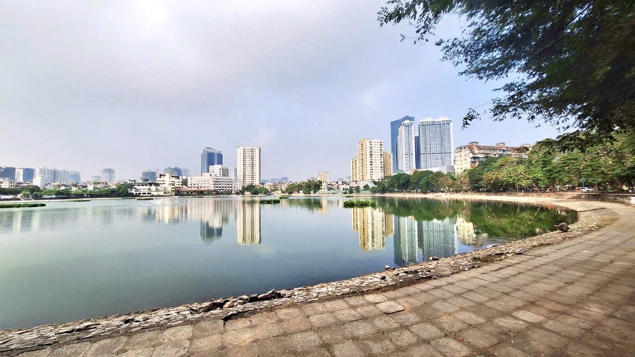
Fig 8: The Giang Vo Lake
The Thu Le Lake, which has an area of 68,512 m2, is one of the most beautiful lakes in the capital and is located on the campus of the Thu Le Park. Currently, the lake is managed by the People’s Committee of Hanoi city. The lake has the function of regulating and creating a landscape for the Thu Le Park.
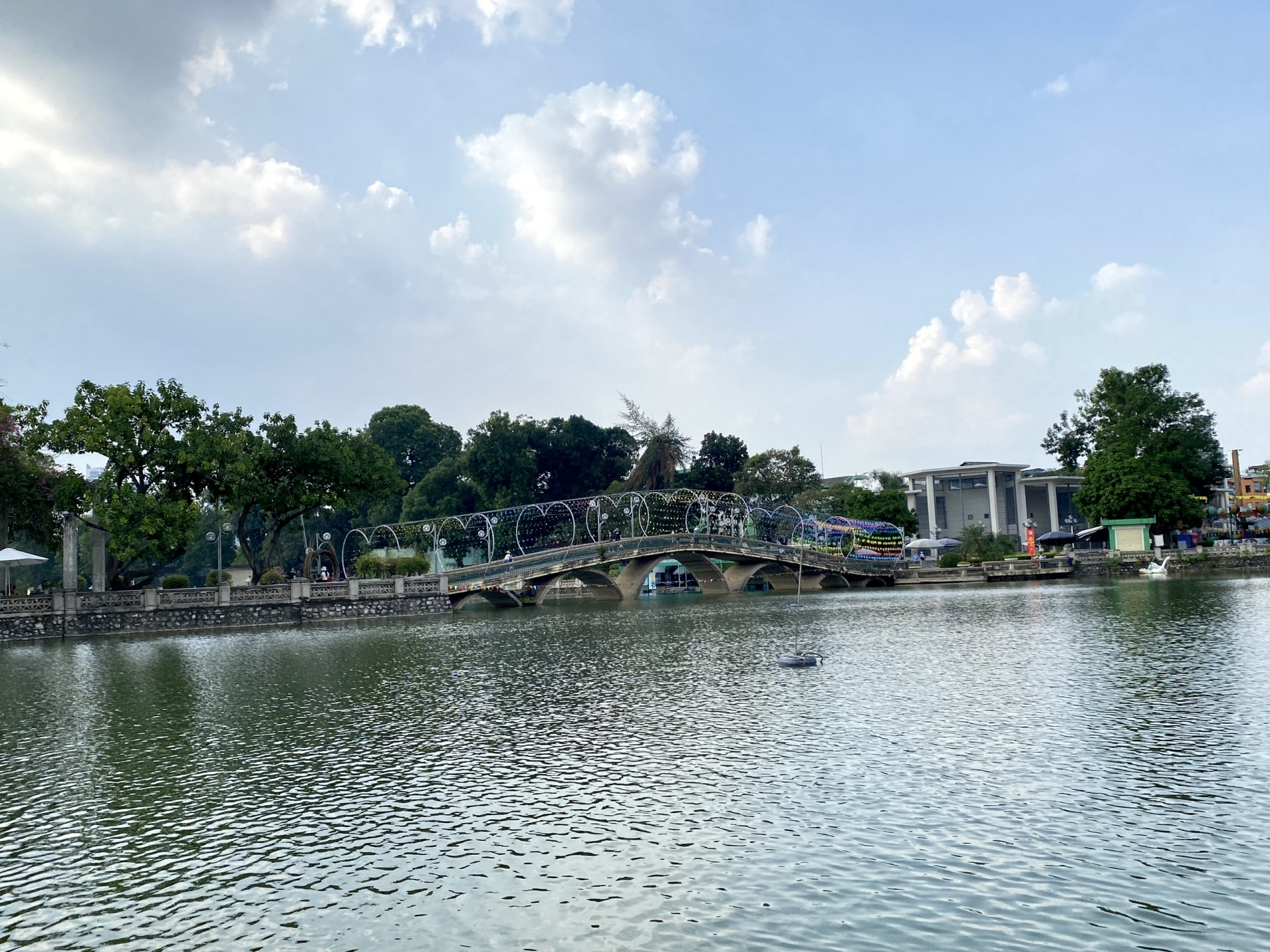
Fig 9: The Thu Le Lake
The Dong Da lake, with an area of 135,100 m2, located on Hoang Cau Street in Trung Liet ward, is the largest lake in the Dong Da district. The lake has a regulating function and is also used to raise fish.
The Thien Quang Lake has an area of 58,686 m2 and belongs to a system of natural lakes connected to the Bay Mau Lake, which has the function of regulating water and creating a landscape for the area.
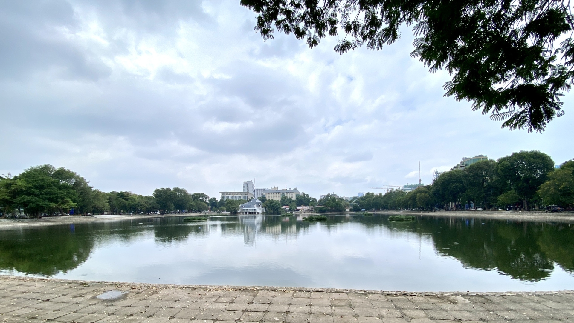
Fig 10: The Thien Quang Lake
To protect lakes and ponds in the whole city, recently, the Hanoi People's Committee (2023) has issued a Decision approving the list of 3,164 lakes, ponds and lagoons that are not allowed to be filled. According to the approved list, the number of lakes in inner-city districts including: Hoan Kiem (1), Hai Ba Trung (9), Ba Dinh (11), Thanh Xuan (9), Dong Da (15), Tay Ho (18), Cau Giay (29) and in some suburban districts comprising: Thanh Oai (275), Quoc Oai (276), Thuong Tin (239), Dan Phuong (210), Phu Xuyen (201), Me Linh (181), Phuc Tho (178), Hoai Duc (126), Thach That (151) (Hanoi People's Committee, 2023).
References
An HT, Nhung TT, Thuỷ NT, Phương TA, (2022). Research on combining hydraulic model and artificial intelligence model to simulate water quality of the Nhue – Day river in Ha Noi City. Vietnam Journal of Hydrometeorology, 739, doi: 10.36335/VNJHM.2022 (739), 67-80.
Cai, A.T., 2020. Research to build a scientific basis for river water quality zoning according to water use purposes: application to Nhue - Day rivers. Doctoral thesis in Natural Resources and Environmental Management. Institute of hydro-meteorological science and climate change. 196 pages.
Duong TT, Le PT, Nguyen TNH, Hoang TQ, Ngo HM, Doan TO, Le TPQ, Bui HT, Bui MH, Trinh VT, Nguyen TL, Le ND, Vu TM, Tran TKC., Ho TC, Phuong NN, Strady E, (2022). Selection of a density separation solution to study microplastics in tropical riverine sediment. Environ. Monit. Assess. 194, 65. https://doi.org/10.1007/s10661-021-09664-0.
Duong, T.T., Nguyen, T.D., Phuong, N.N., Ngo, M.H., Doan, T.O., Le, T.P.Q., Bui, M.H., Nguyen, H.V., Dinh N.T., Nguyen, T.N.A., Cao, T.T.N., Pham, T.M.H., Hoang, T.T.H., Gasperi J., Strady E., 2023. Microplastics in sediments from urban and suburban rivers: Influence of sediment properties. Sci. Total. Environ. 904,166330. https://doi.org/10.1016/j.scitotenv.2023.166330.
Ha UTT, Hung PT, Bach LT, (2021). Assessment of the current pollution status and proposal of solutions to improve the water quality of urban lakes in Hanoi. Journal of Science and Technology in Civil Engineering, Hanoi University of Civil Engineering, 15 (4V), 87–97. https://doi.org/10.31814/stce.huce(nuce)2021-15(4V)-09.
Hanoi GSO (General Statical Official of Vietnam). 2022. Statistical Yearbook of Hanoi 2021. Hanoi, Vietnam: Statistical publishing house. http://thongkehanoi.gov.vn
Hanoi People's Committee. 2023. Decision No. 1614/QĐ-UBND approving the list of ponds, lakes, lagoons and estuaries that cannot be filled in Ho Chi Minh City.
Le ND, Nguyen TMH, Hoang TTH, Duong TT, Phung TXB, Pham TMH, Pham TMH and Le TPQ. 2023. Faecal contamination and its relationship with some environmental variables of four urban rivers in inner Hanoi city, Vietnam. Vietnam Journal of Earth Sciences. 1-14, https://doi.org/10.15625/2615-9783/19327
Le ND, Hoang TTH, Nguyen TMH, Rochelle-Newall E, Phung TXB, Pham TMH, Duong TT, Pham TMH, Nguyen TD & Le TPQ. 2024. Microbial contamination in surface water in urban lakes of Hanoi city, Vietnam. Urban Water Journal. 21:5, 602-614. DOI.10.1080/1573062X.2024.2323963.
Le TPQ, ND Le, TTH Hoang, E Rochelle-Newall, TAH Nguyen, LM Dinh, TT Duong, TMH Pham, TD Nguyen, TXB Phung, TQT Nguyen, TH Vu, PT Le and VP Phung. 2022. Surface sediment quality of the Red River (Vietnam): impacted by anthropogenic and natural factors. International Journal of Environmental Science and Technology. https://doi.org/10.1007/s13762-022-03936-z
Loan LM, Ha PTT, Huyen NT, Anh NL, Nhat DM, Trang HT, Trong VV. (2022). Initial study of the pollution load assessment from domestic wastewater and the application of microoganic products for treatment of organic matters in To Lich river. TNU Journal of Science and Technology, 227(08), 182-190.
Luu, T.N.M., Dinh, T.D., Trinh, D.A., Do, N.T., 2021. Water quality in an urbanized river basin impacted by multi-pollution sources: from comprehensive surveys to modelling. Sci.Asia. 47. https://doi.org/10.2306/scienceasia1513-1874.2021.014
Luu, T.N.M., Garnier, J., Billen, G., Orange, D., Némery, J., Le, T.P.Q, Tran, H.T., 2010. Hydrological regime and water budget of the Red River Delta (Northern Vietnam). J. Asian Earth Sci. 37, 219–22. https://doi.org/10.1016/j.jseaes.2009.08.004.
Ngo, H.T.T., Nguyen, T.D., Nguyen, T.T.H., Le, T.T., Nguyen, D.Q., 2022. Adverse effects of toxic metal pollution in rivers on the physiological health of fish. Toxics. 10 (9), 528. https://doi.org/10.3390/toxics10090528
Nguyen, H.M.N., Khieu, H.T., Le, H.Q., Duong, T.T., Do, Q.T., Tu, B.M., Tran M.T., 2022. Assessment of distributional characteristics and ecological risks of cyclic volatile methylsiloxanes in sediments from urban rivers in northern Vietnam. Environ. Sci. Pollut. Res. 29, 29917–29926. https://doi.org/10.1007/s11356-021-18487-y
Phung TXB, Le TPQ, Le ND, Hoang TTH, Nguyen TMH, Rochelle-Newall E, Nguyen TAH, Duong TT, Pham TMH, Nguyen TD. 2024. Metal contamination, their ecological risk and relationship with other variables in surface sediments of urban rivers in a big city in Asia: case study of Hanoi, Vietnam. Environmental Science and Pollution Research. DOI : 10.1007/s11356-024-32549-x.
Ung TTH, Hung PT and Bach LT. 2021. “Assessment of the Current Pollution Status of and Proposal of Solutions to Improve the Water Quality of Urban Lakes in Hanoi.” Journal of Science and Technology in Civil Engineering 15 (4V): 87–97. https://doi.org/10.31814/stce.huce(nuce)2021-15(4V)-09.
VEA (Vietnam Environment Administration). 2019. “Surveying, Evaluating, and Developing a Project to Protect the Environmental and Ecological Landscape Lakes and Ponds in Urban Areas and Residential Areas.” Environment Tasks 2019 by Vietnam Environment Administration, Vietnam Ministry of Natural Resources and Environment, 124 pages.
Vietnam-GSO (General Statistics office), 2023. Statistical Yearbook of Vietnam 2022. Statistical Publising House.


