Introduction general of rivers and lakes in Ho Chi Minh city, Vietnam
Ho Chi Minh City is located in the south of Vietnam, at geographical coordinates of 10°10′–10°38′ North and 106°22′–106°54′ East. The city is bordered by Binh Duong province in the north; by Tay Ninh province in the northwest; by Dong Nai province in the east and northeast; by Ba Ria-Vung Tau province in the southeast, and by Long An and Tien Giang provinces in the west and southwest. Ho Chi Minh City has an area of 2095.39 km2 (People’s Committee of Ho Chi Minh City, 2022; General Statistics Office, 2022). Ho Chi Minh city is the largest city in Vietnam in terms of population and scale of urbanization. According to the official census data, the city's population reached 9,166 million inhabitants, and equaled the population density of 4375 inhabitants.km-2 in 2021 (General Statistics Office, 2022).
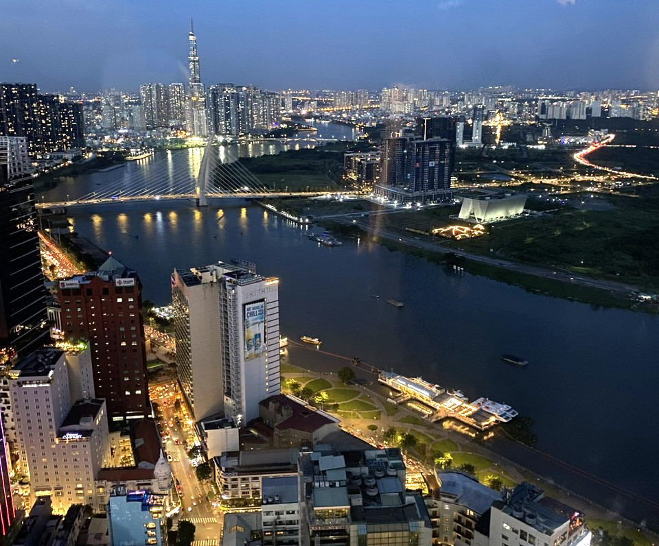
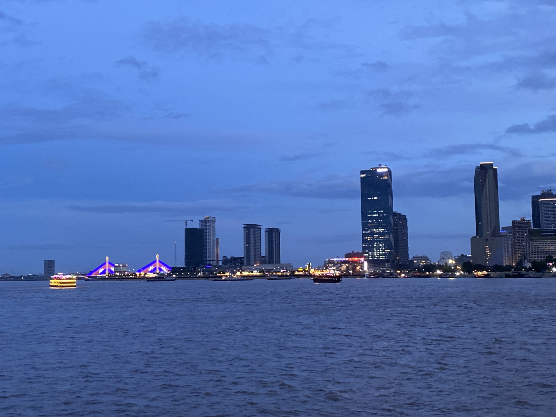
Fig 1: Saigon river at night
Below is introduction of some rivers and lakes in Ho Chi Minh city.
1.Rivers
There are two major rivers that flow through Ho Chi Minh City: the Dong Nai River and the Saigon River, as well as a dense network of canals.
The Dong Nai River (586 km) is the longest inland river in Vietnam, originating from the Langbiang Plateau (Da Lat) and confluencing with many other rivers, such as the La Nga River and the Be River, forming a large basin (Bui et al., 2021). The Dong Nai river, covering a surface area of about 40,000 km2, is the second largest river in the South Vietnam in terms of basin area, just after the Mekong River (Nemery et al., 2018). The river has an average water flow of 613 ± 218 m3/s (Nemery et al., 2018), of which the highest discharge in the flood season is up to 10,000 m3/s. The river, itself, provides 15 billion m3 of water annually and is the main source of fresh water in Ho Chi Minh City. The Dong Nai River flows through different provinces (Lam Dong, Dak Nong, Binh Phuoc, Dong Nai, Binh Duong, and Ho Chi Minh City). The water quality of the Dong Nai River tends to decrease when it flows through the cities. In many areas in Ho Chi Minh City (e.g., Cat Lai Ferry Terminal, Mui Den Do …), the river water has been polluted by organic matters and nutrients due to receiving urban domestic wastewater, industrial wastewater and navigation activities (MONRE, 2018; Thong et al., 2022).
The Saigon River, a tributary of the Dong Nai River, covers a surface basin area of 4700 km2 (Nemery et al., 2018). The Saigon River originates in the Hon Quan area, flows through Thu Dau Mot and Ho Chi Minh city with a length of 200 km. The river section running through the city territory is 80 km long. The Saigon River is composed from numerous tributaries, and has an average flow of about 50 ± 21 m3/s (Nemery et al., 2018). The width of the Saigon River in the city varies from 225 to 370m, and the depth is up to 20m. The Rach Chiec canal system connects the Dong Nai River to the Saigon River in the extended inner city.
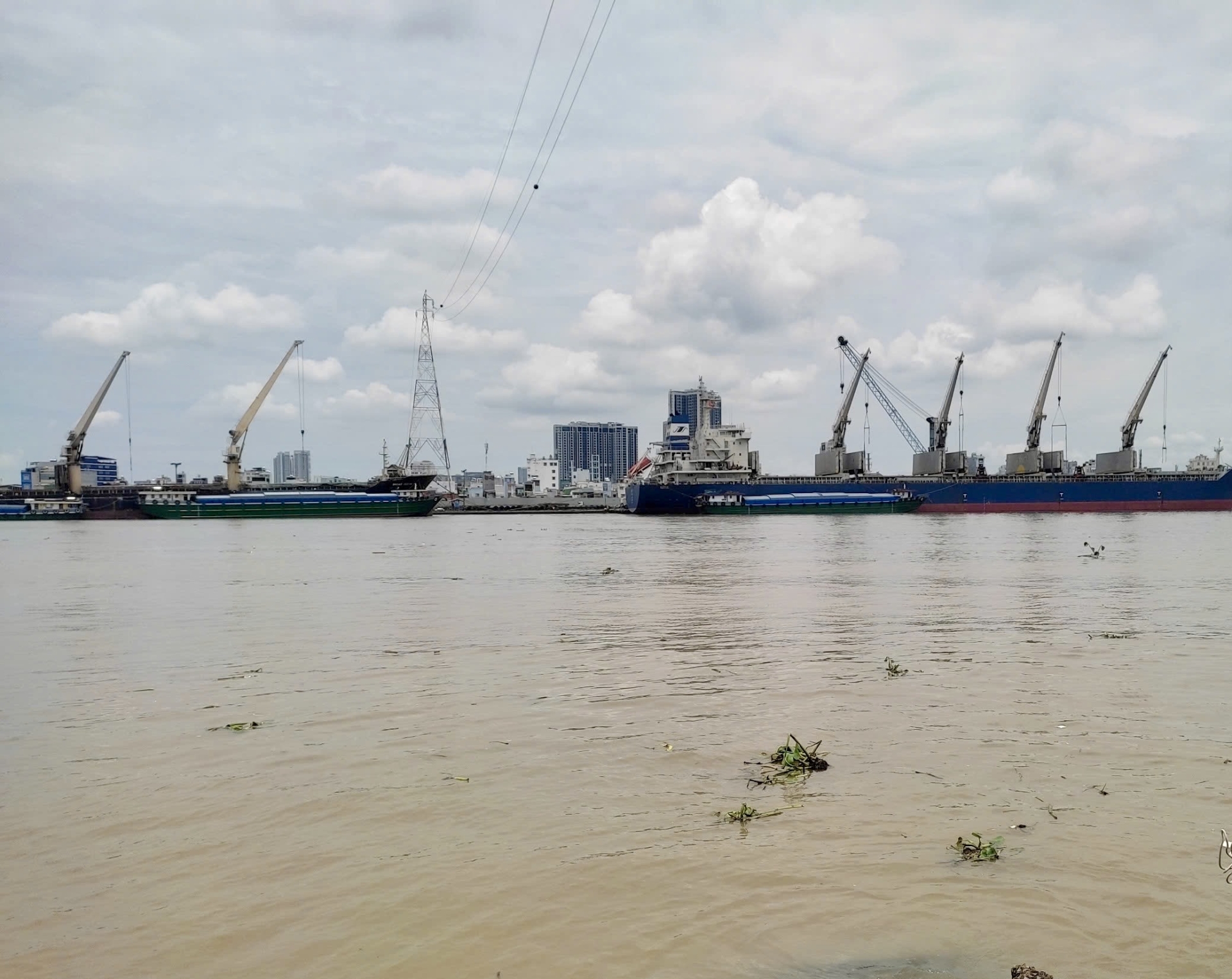
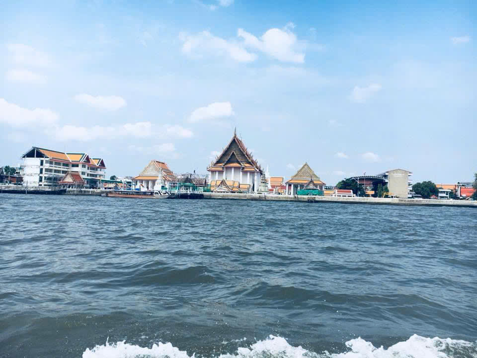
Fig 2: the Saigon River
The Long Tau River, also known as Long Tao, is a distributary of the Dong Nai River that flows through Can Gio District and empties into Ganh Rai Bay. The Long Tau River has an average depth of 15 m and is about 75 km long.
The Cho Dem-Ben Luc River connects Ho Chi Minh City and Long An Province and empties into the Vam Co Dong River. This is an important waterway from Ho Chi Minh City to the provinces of the Mekong Delta.
Can Giuoc River (or Rach Cat, or Phuoc Loc River) is a small river, flowing through Ho Chi Minh City (8 District and Binh Chanh District) and Long An Province (Can Giuoc and Can Duoc districts). The total length of this river is about 38 km and the river discharge is of about 56 m³/s.
The Dong Tranh River is the name of two rivers in Can Gio district, Ho Chi Minh City, both belonging to the Dong Nai river system. The first river has a length of about 30 km, from the section of Long Tau and Ba Gioi rivers that forms the natural boundary between Nhon Trach, Dong Nai, and Can Gio districts, Ho Chi Minh City. The second river is 8.5 km long, starting at the confluence of the Cat Lai (Vam Sat) and Mui Nai rivers and flowing southward to the East Sea at Dong Tranh Bay.
The Nha Be River originates at the confluence of the Dong Nai and Saigon rivers, approximately 5 km southeast of the city center. The river flows into the East Sea by two main routes: the Soai Rap route is 59km long, 2km wide on average, the river bed is shallow, and the flow rate is slow; the Long Tau river flows into Ganh Rai bay, 56km long, 0.5km in average, width, deep river bed, is the main waterway for ships entering and leaving the Saigon harbor. The whole length of the Nha Be river route is about 12 km.
The Nga Bay River in Can Gio District is the last section of the Long Tau River before it empties into the Ganh Rai Bay. The river has a length of about 15 km, and the river bed is wide.
The Soai Rap, or Xoai Rap, is a distributary of the Saigon - Dong Nai river system. The river has a length of about 40 km, the widest part of the river is about 3 km, located downstream at the boundary between Ly Nhon commune, Can Gio district, and Gia Thuan commune, and Go Cong Dong district.
The Thi Vai River runs for about 76 km, with the section in the south serving as a natural boundary between the districts of Nhon Trach (Dong Nai), Can Gio (Ho Chi Minh City), and Phu My Town, Ba Ria-Vung Tau province.
The Vam Thuat River - Ben Cat - Truong Day - Tham Luong Canal - Rach Nuoc Len is of 30 km river route in Ho Chi Minh City. This waterway connects the Saigon River to the Ben Luc River and flows through eight districts: Binh Thanh, Go Vap, District 12, Tan Binh, Tan Phu, Binh Tan, Binh Chanh, and District 8, forming a ring road that runs north and west through the city. In recent years, the river water has been seriously polluted: the water is now black and has a very unpleasant stench. The canals in the area are also dyed a solid black. According to the report by the Department of Environmental Protection of Ho Chi Minh City in 2016, the water flow was blacker and fouler in the upstream section due to the black water from the Vam Thuat river flowing back in.
2 Canals
In the inner city of Ho Chi Minh City, there are 5 main canals with a total length of about 55 km that perform the function of drainage for the inner city (Nguyen et al., 2018).
The Nhieu Loc - Thi Nghe canal, has a length of 9470m, with a basin of more than 33 km2, is the main natural drainage system for some inner districts of the city that empties into the Saigon River. The tributaries have a total length of 8716m, and along the canal there are 52 discharge outlets. The transfer of wastes by this canal into the Saigon River is very poor. The Nhieu Loc - Thi Nghe canal was seriously polluted in many years ago because it received wastewater and even solid waste. Garbage stagnates in the canals and in the sewers, creating the accumulation of pollutants and sedimentation in the canal beds, causing great difficulties for the drainage of this system.
The Tan Hoa-Lo Gom canal is located in the near-central area of the inner city. The main canal is about 7.2 km long, with a depth of 0.5-1.5 m, running from the northeast to the southwest of the city, passing through the following districts: Tan Binh, District 11, District 6, and District 8, and ending at the connection point with the Tau Hu canal (Nguyen et al., 1996). The indiscriminate encroachment of construction along the canal causes great impediment to the flow and is an important source of pollution due to that the waste is discharged directly into the canal.
The Tau Hu-Ben Nghe canal is located in the city's south and is approximately 9.3 km long, running from the Saigon River to the Lo Gom canal and passing through the Districts 1, 4, 5, 6, and 8. The receipt of domestic and industrial wastewater from the districts has worsened the environmental quality of the canals. The hydrological regime of the canal is very complicated due to the influence of tides, forming areas bordering water where pollutants are accumulated and difficult to clean.
The Doi - Te canal: The canal has a length of about 13.3 km, flowing through the districts 4, 7 and 8. At both ends, the canal is constrained by the Can Giuoc canal and the Saigon River and thus affected by tides from two directions. The canal receives domestic and industrial wastewater from these districts. Moreover, the direct discharge of garbage from residents and boats in these districts has affected the environmental quality of the canal.
The Tham Luong - Ben Cat - Nuoc Len canal is an important canal in the north of the city, with a length of about 33km, passing through the districts 12, 8, Binh Thanh, Go Vap, Tan Binh, Tan Phu, Binh Tan, and Binh Chanh. The canal from the Cho Cau Bridge to the upstream has been filled up, narrowing the flow and seriously polluted.
3. Lakes and ponds
Ponds, lakes, and lagoons in Ho Chi Minh City serve the functions of tourism, entertainment, urban beautification, and water regulation. However, many lakes and lagoons have been encroached upon and filled in illegally to serve construction needs. According to the Department of Natural Resources and Environment of Ho Chi Minh City, in recent times, nearly 20% of the area of lakes and lagoons has disappeared, and not only lakes but also a series of canals in Ho Chi Minh City are being encroached upon indiscriminately. This has greatly affected the city's ability to store and drain water. For example, the area of Ky Hoa Lake in District 10, Ho Chi Minh City, is very small, and the water in the lake is pitch black and the corridor around the lake is encroached upon by shops. This situation occurs in almost all districts, and as a result, every time there is a high tide or heavy rain, the city is in a state of severe flooding.
In 2023, the Ho Chi Minh City People's Committee issued a decision approving the list of lakes, ponds, and lagoons that cannot be filled in the area. Eight lakes, ponds and lagoons that cannot be filled include: Huong Tram fish pond, fish pond of the seafood company, the Song Tan pond (District 7); the Ky Hoa lake, the Le Thi Rieng cultural park (District 10); the reservoir in Dam Sen cultural park (District 11); the Thanh Da park water regulation lake, and one water reservoir (Binh Thanh district) (Ho Chi Minh City People's Committee, 2023).
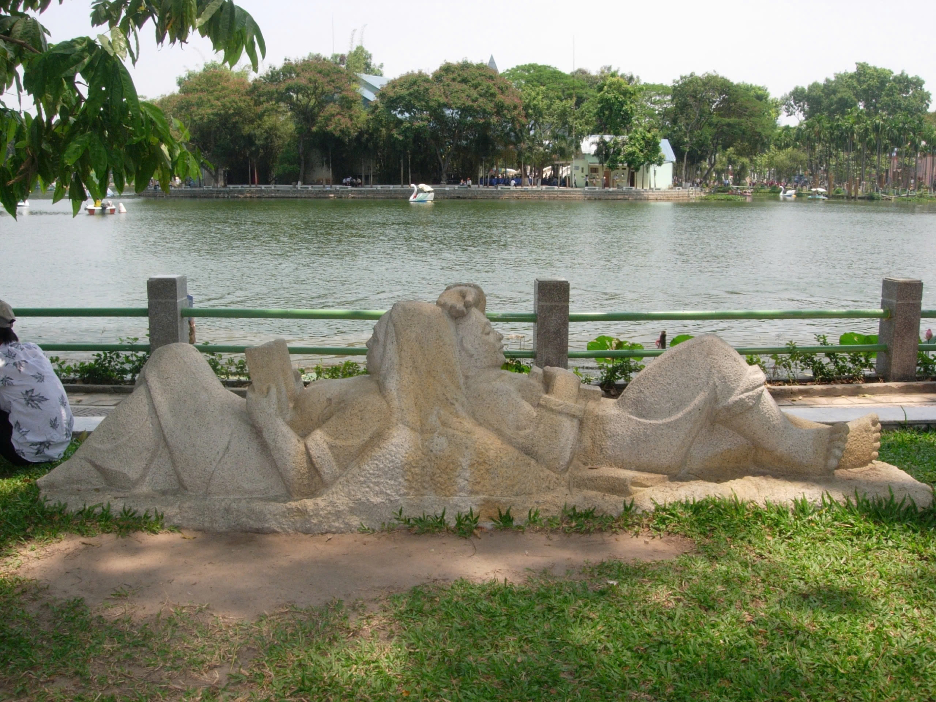
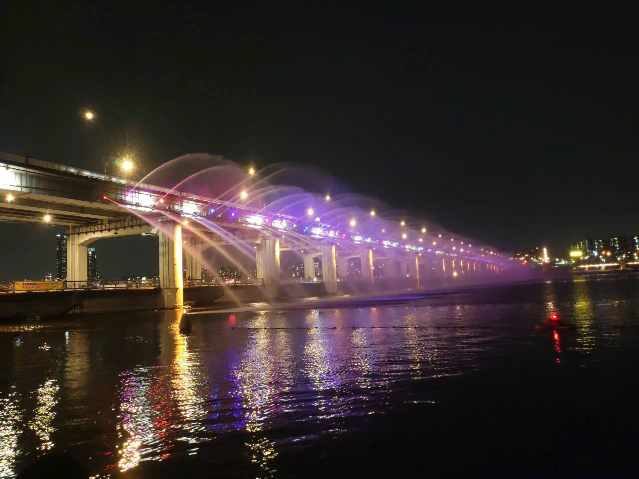
Fig 3: Lake inside Thao Cam Vien, Hochiminh city
References
Bui VK, Tran TMD, Lam PTH, Vo NXQ, Nguyen NH. 2021. Analysis of water quality in Saigon River water and its treatment by traditional coagulation – flocculation. IOP Conf. Ser.: Earth Environ. Sci. 652 012013.
Ho Chi Minh City People's Committee. 2023. Decision No. 303/QD-UBND approving the list of ponds, lakes, lagoons and estuaries that cannot be filled in Ho Chi Minh City.
MONRE, 2018. National environmental status in 2018 theme: water environment of river basins. 158 pages.
Nemery J, TTN Nguyen, N Gratiot, E Strady, ST Cao, TPT Huynh. 2018. Water, sediment and nutrients fluxes in the Saigon Dong Nai Rivers (Vietnam). I.S.RIVERS 2018. 3 pages. https://www.graie.org/ISRivers/docs/papers/2018/1P116-112NEM.pdf
Nguyen BD, Duong NH. 2018. The issue of space management on and along the canals of Ho Chi Minh City, according to the plan, City Development Research Institute, Ho Chi Minh City Department of Planning and Investment, pages 1–9. https://ppp.tphcm.gov.vn/doc/NguyenBinhDuong_DuongNgocHong_VandequanlyVenvatrenKenhRach.pdf.
Nguyen TL, Dang TT, Nguyen H (1996). Water pollution in the area of Tan Hoa - Lo Gom creek of Ho Chi Minh City. VNU Journal of Sciences, Natural Sciences, 12(4):19-23.
Office of the People's Committee of Ho Chi Minh City (Website), 2022. Introduction to the city. https://vpub.hochiminhcity.gov.vn/portal/KenhTin/Gioi-thieu-ve-thanh-pho.aspx.
Thông, N., Thúy, N., Thảo, N., Anh, L. and Dao, K. 2022. Assessment of water quality changes in Saigon and Dong Nai rivers under the influence of domestic wastewater discharges. Science & Technology Development Journal: Science of the Earth & Environment. 6, 1, 468-483. DOI:https://doi.org/https://doi.org/10.32508/stdjsee.v6i1.655.


